
![[interface] image of digital wallets (for a blockchain and cryptocurrency)](https://cdn.prod.website-files.com/image-generation-assets/c9df366f-4a74-418a-be00-408459b37af6.avif)
Explore insights, trends, and case studies in drone LiDAR, mapping, and geospatial innovation for land development, construction, and infrastructure.
Explore expert articles on drone LiDAR, 3D mapping, and geospatial data for land development, construction, and infrastructure. Stay updated with the latest advancements, project applications, and best practices in aerial surveying and digital modeling.


Explore the latest trends in drone LiDAR, photogrammetry, and 3D mapping for construction, engineering, and infrastructure. Stay informed on best practices, regulatory updates, and technology breakthroughs shaping the future of spatial data.
![[headshot]](https://cdn.prod.website-files.com/image-generation-assets/d7692d99-cdbd-4b64-a493-f7a9c18a3cea.avif)

Discover proven strategies for efficient aerial data capture, processing, and delivery. Learn how to streamline project timelines and maximize accuracy for land development and construction projects.

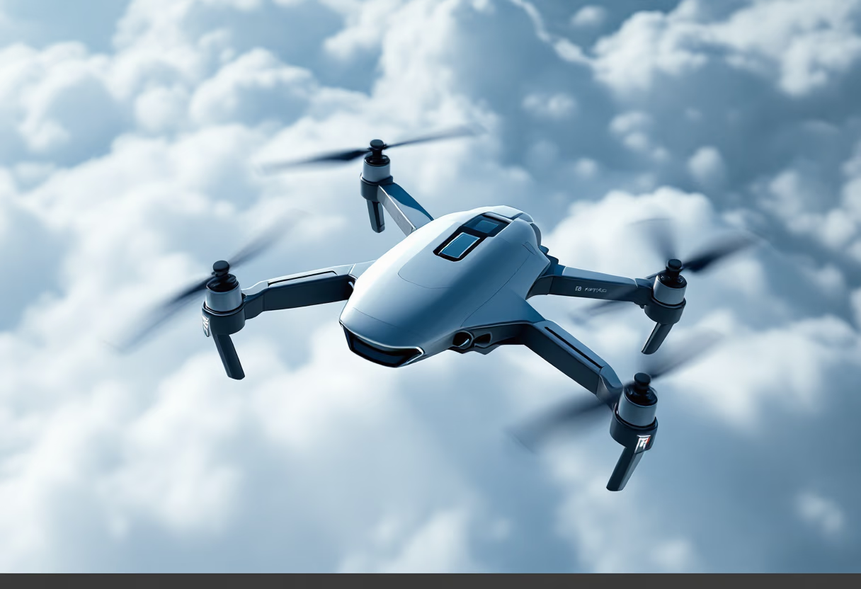
Get an in-depth look at the latest advancements in drone-mounted LiDAR, including improved vertical accuracy, scan range, and data classification for high-precision mapping applications.