![digital marketing & advertising agency [interface]](https://cdn.prod.website-files.com/6883d02762a9ad7e401ca44b/688713403122161d64ecc1a0_VSUhy7ZWFkvRD-FRPFcjX_output_00001.jpg)
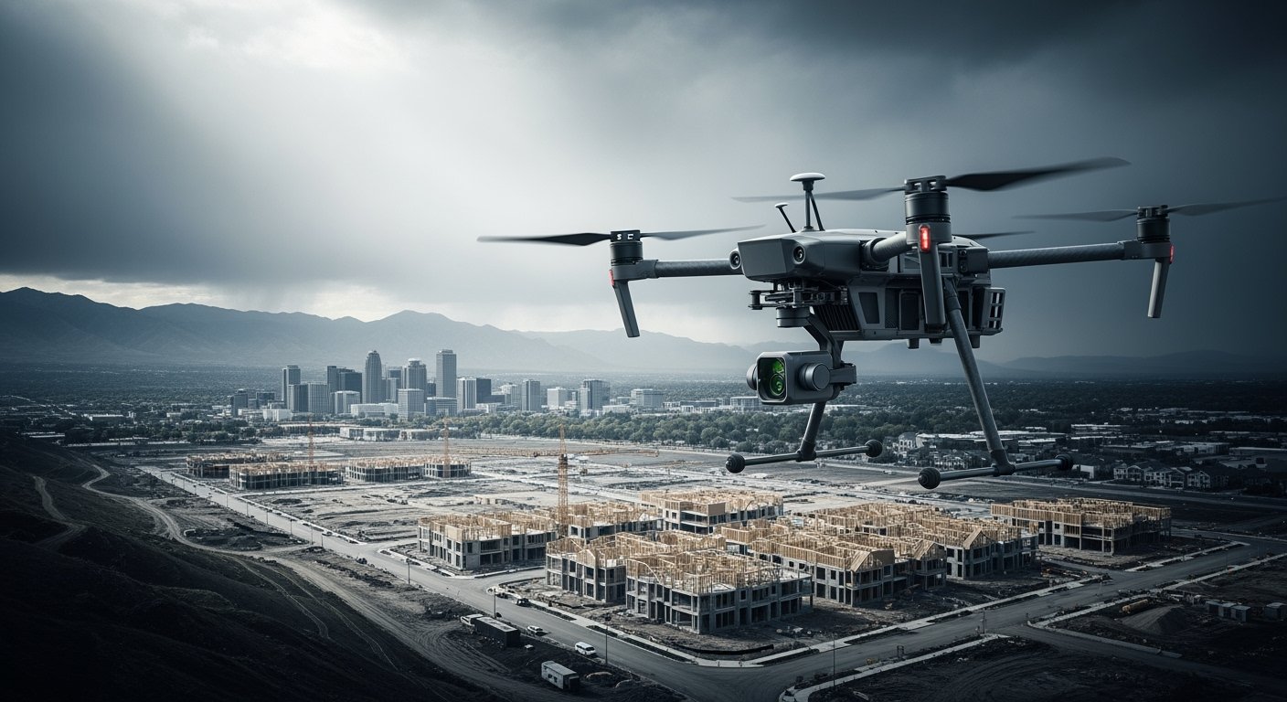
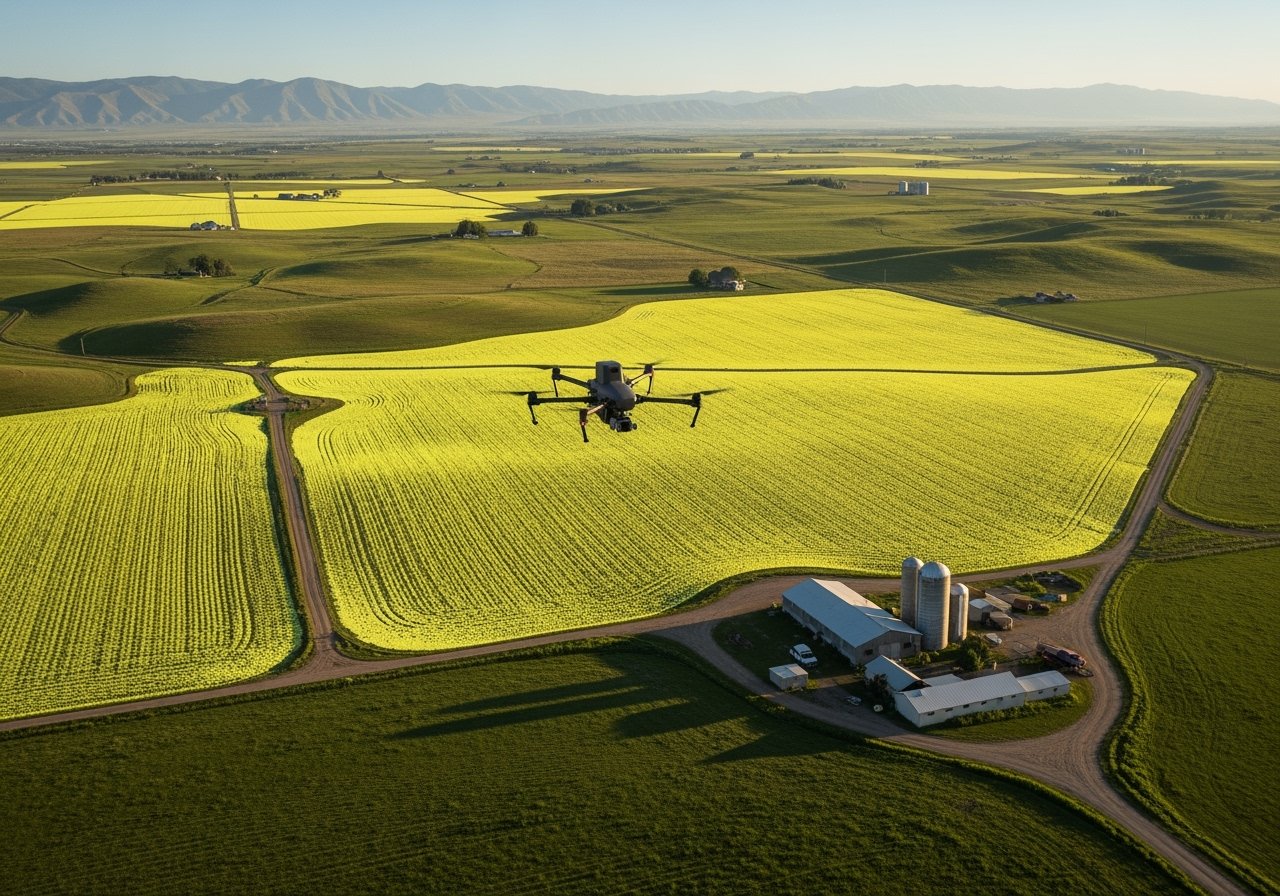
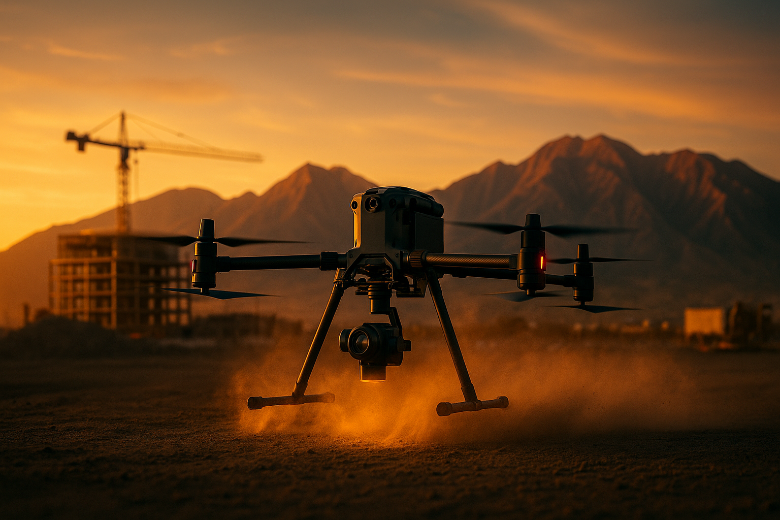
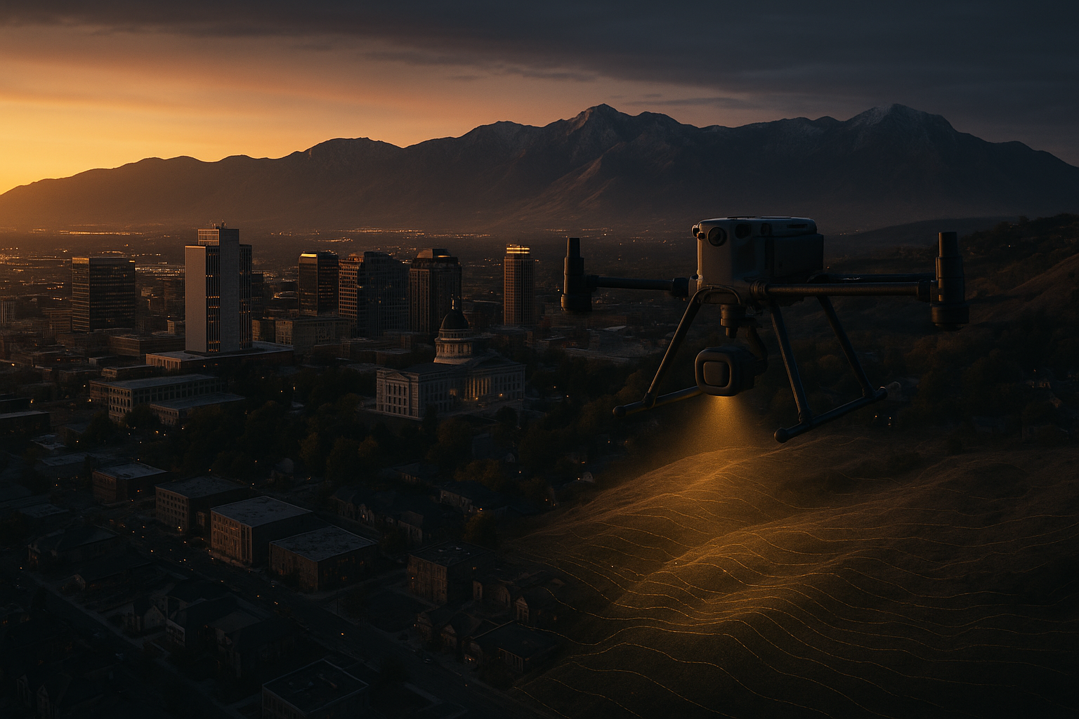
We deliver high-precision aerial LiDAR and photogrammetry for land development, construction, and infrastructure projects. Our advanced drone systems provide survey-grade data, rapid turnaround, and seamless integration for professionals shaping the built environment.
![[background image] of a city map for a pet store](https://cdn.prod.website-files.com/6883d02762a9ad7e401ca44b/6887133fa1b4ee1854e43bc9_kAtTYvruC2BKyvTLBkb01_output_00001.jpg)
![image of regional public transport map [digital project]](https://cdn.prod.website-files.com/6883d02762a9ad7e401ca44b/6887133dfacc318f2ab30c62_aOYpy01QnpuQabE8dtzig_output_00001.jpg)
Survey-grade vertical precision for reliable data
Accelerated project delivery compared to traditional surveys
Comprehensive aerial mapping for every site